Arctic sea ice summertime minimum is fourth lowest on record
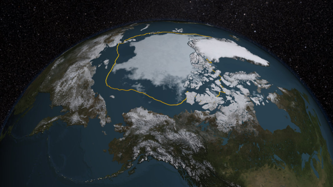
Arctic sea ice has declined to 1.70 million square miles, which is 699,000 miles lower than the average for 1981-2010. This is really important because weather will be affected by this. This decline hasn't led to any major weather event yet, but will soon possibly. The rate at which the ice is melting is increasing exponentially due to other ice melting. Previously ice used to be a big solid sheet, which made it much harder to melt. In recent years the ice has fragmented and is more vulnerable to the warm ocean waters. This fragmentation is caused by a combination of melting ice and a power cyclone that occurred in August back in 2012.
El Niño, which is a naturally occurring event where the surface water of the pacific ocean warms, is thought to have contributed to this melting. El Niño causes higher sea level pressure and warmer air/sea surface temperature, which can affect sea ice distribution. This would explain why the sea ice was at a much higher level at the beginning of the year, but dipped in mid-August. It's difficult to tell whether or not this is true, but now that ice is thinner and more mobile, it will be more responsive to atmospheric events. Next week NASA is planning to start an airborne survey of the ice to provide some insight on the impact of this.
After reading this article it makes it much easier to understand how sea ice can decline. I didn't know about the positive feedback loop that happens when too much sea ice breaks and make the other ice more vulnerable to melting. Smaller ice fragments and a warmer ocean can lead to bad weather patterns. I've also heard of El Nino and I think it makes perfect sense to think that it is contributing to the melting of ice. It's great that NASA is taking airborne pictures of the sea ice to see how much has been impacted.
